Drone Services for Municipalities
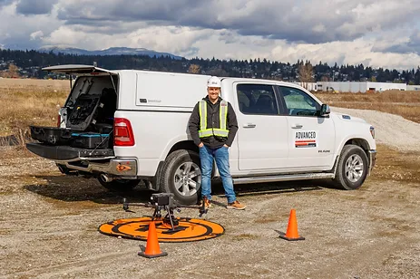
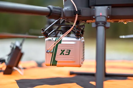
Lidar can help municipalities in many sectors, from topographic maps to preplanning phases of projects.
Our Lidar systems can gather terrain data below vegetation, This can help predict costs for cut and fill expenses, review and monitor dyke and water way run offs, or model parks and common areas for digital design and detailed discussion.
Environmental concerns over erosion, land change and water diversion have become more in the spot light with severe weather patterns now becoming more frequent, Our services can help you predict potential areas and monitor them prior to having large catastrophes
Dyke and water way monitoring is key way municipalities can help mitigate risks for floods and help predict areas of concern,
Our monitoring systems make comparing change over time easy to identify but overlaying chronological scans, this can help quickly identify areas that may be eroding. We use multiple platforms which can be viewed on line, this makes it easy for teams to review data and share data amongst other team members that may not have advanced software or expensive computers to handle these large data sets.
We want to help save you thousands in unexpected damages caused by heavy rain fall.
Photogrammetry can be used in multiple sectors, from making digital twins of heritage areas to collecting accurate data for road way planning, lane planning and planimetrics of parks and recreation areas.
Our photogrammetry process is steps ahead of our competitors, We use commercial Survey grade GNSS satellite position systems to locate control and scale constraints, Commercial grade Aerial Drone platforms which use the location controls to accurately capture data and then we process it thru industry leading software.
Our Pilots, ground crew and post processing technicians have years of experience and ensure that when you receive your data we have double checked to ensure its accurate


