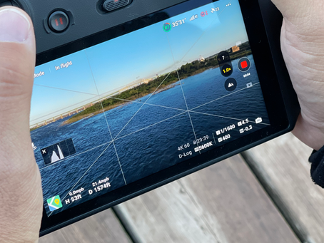
Drones have become more popular than ever, They have gripped many people for images for social media, hobby fligts, commercial and indsutrail applications and every year that goes by more and more into the commercial industrial world.
Over the past 5 years large companies have started to see the value in having drones complete tasks and in return large drone manufactures and software companies have joined in to help push this into more undsutries. We have seen AI and software programming combined with ever changing and ever expanding hardware.
Lidar has seen one of the bigger growths, we have seen Lidar sensors become smaller and more affordable, Not too long ago it took a large drone wiht a 5 to 6 ft wing span to carry a sensor that could be worth $150,000 USD, and now we can attach a capable sensor onto a much more transportable and managable drone like an M300 RTK and the sensors are as low as $9,000 if your looking at the DJI L1 with the recent price drop.
All these chnages have been happenign rapidly and compnaies are now seeing the ability to use these sensors on a more regular basis, We have seen a steep uptick in local companies bringing on their own pilots and investing into the equipment.
What has made this transition so easy? Low cost of entry is a major one but the AI, Software and seemless data processing all play a big role.
We still see a lot of companies who still want to keep the aerial data collection on a subcontract level tho . The majority of clients still can not justify the initial investment and training costs involved in bringing on their own teams,
As a drone focused company we are constantly chasing the new technology and learning the programs on a daily and weekly basis, The new fuctions coming out are so fast we are always checking the updates to see if there is value to be able to offer our clients,
One thing we have been watching is web based data hosting, A few companies are offering this from Rock Robotic to Pix4d gives us the ability to send a link to a client for them to review the data amognst their technicians,
This gives cleints the ability to use the data with out costly subsctiptions to software such as Autodesk or other GIS based software, It also gives them the ability to view and use the data when they are mobile.
One of our clients uses our data to monitor corridors for intrusions, This makes it easy to mark and share potential risks with ground crews for them to visit in person and make notes to what was done on site.
As drones started as a passion and hobby we love watching the evolution and are excited on the direction it is heading, We will always be watching for new and exciting software and hardware that works in the sector and try to share our experiences wiht you,
Have a great day ,
Advanced Drone Solutions BC Inc.

