Bare Earth Models
Bare Earth Models :
- Flood risk assessment: Bare earth maps can be used to identify areas that are prone to flooding, as well as to predict the extent and depth of flooding in different scenarios.
- Construction planning: Bare earth maps can be used to identify the location and shape of hills, valleys, and slopes, which can be important considerations when planning construction projects.
- Land use management: Bare earth maps can be used to identify areas that are suitable for different land uses, such as agriculture, forestry, or urban development.
- Environmental monitoring: Bare earth maps can be used to track changes in the landscape over time, such as erosion or vegetation growth.
- Disaster response: Bare earth maps can be used to assess the damage caused by natural disasters, such as earthquakes or hurricanes, and to identify areas that are safe for rescue and recovery operations.
Overall, bare earth maps can provide valuable information about the topography and features of an area, and can be used to support a wide range of decision-making processes.
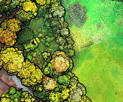
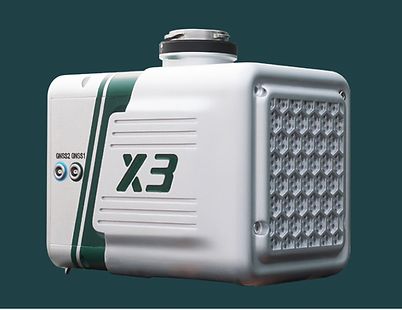
Using drones and lidar (light detection and ranging) technology, it is possible to create highly accurate bare earth maps, which are digital representations of the ground surface without vegetation or other above-ground features. To create a bare earth map, a drone equipped with a lidar sensor is flown over the area of interest, and the sensor captures millions of laser measurements as it flies.
These measurements are used to create a detailed 3D model of the ground surface, which can be processed to extract the bare earth elevations. Bare earth maps can be used for a variety of applications, such as flood risk assessment, construction planning, and land use management.
They can provide valuable information about the topography and features of an area, such as the location and shape of hills, valleys, and slopes. By using drones and lidar to create bare earth maps, professionals can save time and resources compared to traditional survey methods, and obtain highly accurate and up-to-date data.


Contact
Like what you see? Get in touch to learn more.
